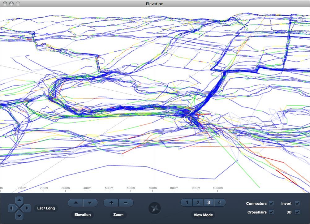
Software visualizer built in Processing that renders personal GPS data interactively in 3D space.
Role: Creator
-

Elevation interface showing Vancouver GPS data
The Story
Sometimes you build projects that have wide appeal, and other times you scratch an itch for yourself alone. Elevation was firmly in the latter territory, but to this day I'm still quite fond of what I built.
In 2009 I was still recovering from a snowboarding accident that required surgery, so I decided to take up cycling as a less strenuous activity. Around the same time I was learning the Processing visual language. Two things completely unrelated, but two things I could easily join together with a bit of coding.
After brushing up on basic map projections I was able to create a basic app that would merge multiple GPS files and render them together. With some basic controls for manipulating the render realtime in 3D space, Elevation allows multiple perspectives and visualizations of the route data.